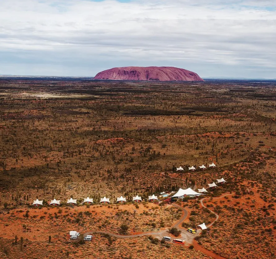
Learn about the history of Uluru
Geography
The Aborigine people of Central Australia believe this area was formed during the Dreamtime, while the scientific explanation for its creation is equally intriguing.
Uluru is a massive monolith and Australia’s most famous landform. Geologists classify it as an inselberg, with most of its mass underground, extending nearly 6km beneath the earth’s surface.
Uluru, a sandstone formation, was shaped over millions of years by geological and erosional processes. Alluvial fans formed from erosion of nearby mountains, later compressed by rising seawaters 500 million years ago. Approximately 400 million years ago, the sea disappeared, and powerful forces folded the land, tilting rock layers and exposing them to the elements. Uluru has been shaped and eroded over time by intense weathering, resulting in its distinct red color from the oxidization of surface minerals.
The formation of Kata-Tjuta, also known as The Olgas, shares similarities with Uluru, as both are inselbergs. Kata-Tjuta is made up of conglomerate sedimentary deposits that have been eroded into boulders and domed peaks through natural processes over time.
FAQ
Why is Uluru significant to Indigenous Australians?
The Anangu people believe Uluru is a living being with deep cultural and spiritual importance, linked to Dreamtime stories and sacred traditions.
When was Uluru first explored by Europeans?
In 1873, explorer William Gosse led an expedition from Alice Springs and became the first European to climb Uluru, naming it Ayers Rock after Sir Henry Ayers.
Why is Uluru-Kata Tjuta National Park a UNESCO World Heritage Site?
It was listed for both its outstanding natural geology and its cultural heritage, preserving its significance to Indigenous Australians and its global value.
When was Uluru returned to its traditional owners?
In 1983, Prime Minister Bob Hawke signed an agreement returning Uluru to the Anangu people. The land is now leased back to Parks Australia and co-managed.
How was Uluru formed?
Scientifically, Uluru is a sandstone inselberg formed over 500 million years ago. Sediments compressed under the sea later tilted and eroded, creating today’s monolith.
How is Kata Tjuta different from Uluru?
While Uluru is a single sandstone monolith, Kata Tjuta consists of 36 domes made of conglomerate rock, formed from compressed sediments and weathered into rounded peaks.


